When I came to Jakarta, I secretly decided to bike up one of the top 10 Java volcanoes. Located in the Pacific Ring of Fire, Indonesia has nearly 150 volcanoes, 120 of which are considered active. Java island alone has more than 40 active volcanoes.
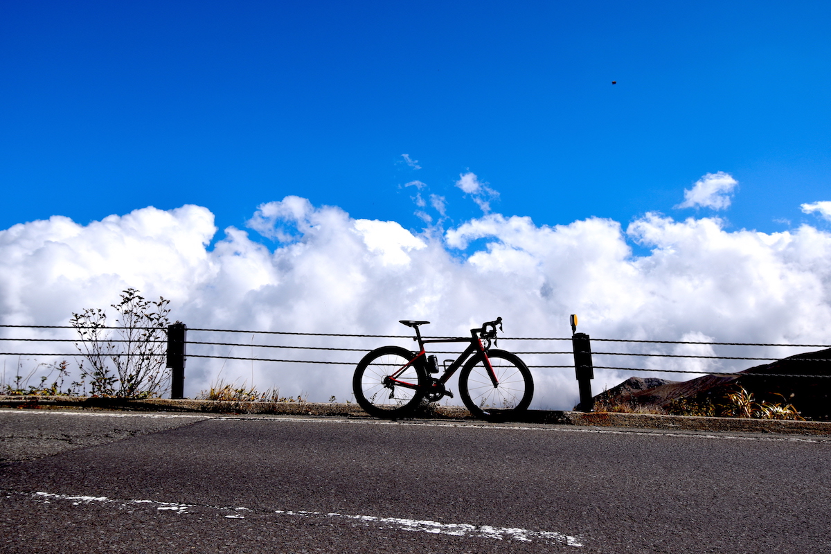
Volcanoes are a wonderful place to take your bike. They are generally tall; much taller than the surrounding land. You can usually start from the sea and climb all the way up to 5,000 ft (1,500 m), 7,000 ft (2,100 m) or even 9,000 ft (2,700 m) in a continuous ascent.
Climbing up volcanoes is a challenge you are looking forward to. It takes a lot of hard work and determination to ride well on the highly inclined roads. Not all cyclists can climb up to the highest point.
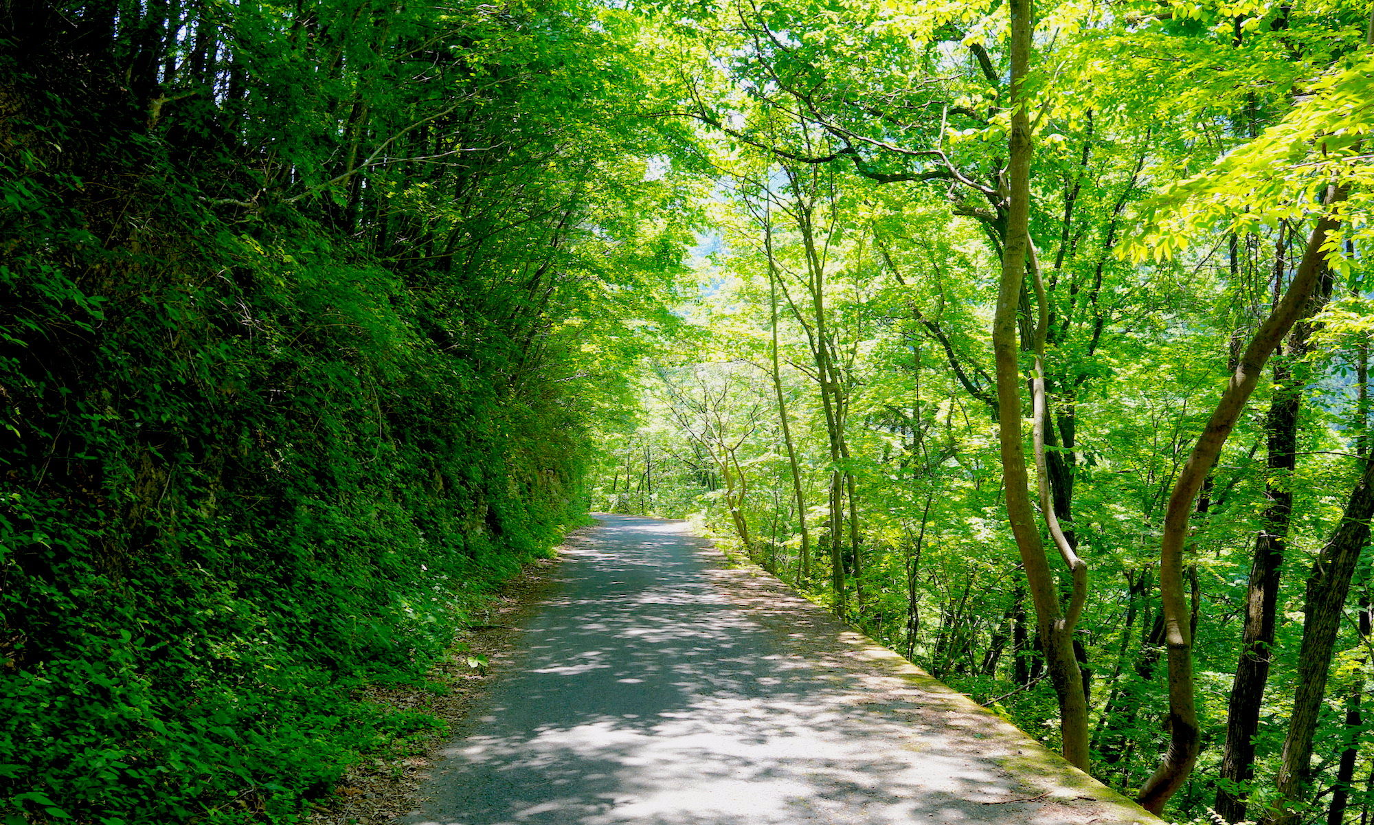
And as you climb to reach the mountain pass, trees are dramatically reduced in volcanic gases and height so that you can enjoy panoramic views with no obstacles. Volcanoes offer cyclists not only a challenge but also magnificent scenery and incredible diversity.
On Shiranesan
When I studied aerial maps of Indonesian volcanoes, I found there are a few paved roads crossing Tengger caldera and reaching the highest point on Mount Penanjakan, at altitude of 9,088 ft (2,770 m) above sea level. The area was called the Bromo Tengger Semeru National Park and could be reached from small coastal cities of East Java.
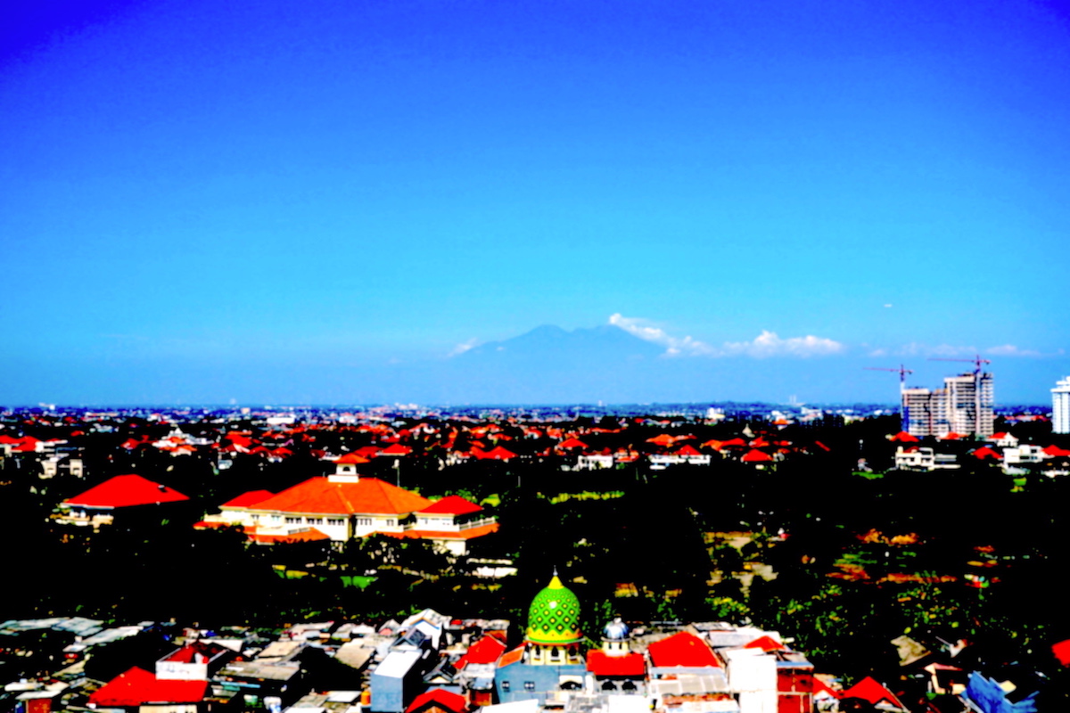
So I flew from Jakarta to Surabaya, the provincial capital of East Java and the country’s second largest city. I stayed one night there and departed very early in the morning.
Although I wanted to stay at a local hotel in Pasuruan, which was nearly 40 mi (65km) closer to the park, everybody had asked me to stay at a luxury hotel in Surabaya. I was a foreigner, pretty new here and came alone to East Java. There seemed no other way.
This upset me immensely. I needed to ride 40 extra mi to get inside the volcano. In other words, it would take 3 more hours. Because I so badly wanted to save my time, I asked the front desk to call a taxi on the morning of my departure. But when I told them I would definitely like to visit Pasuruan, nobody ever believed me. The hotel clerks and taxi drivers treated me like a mushroom. They kept telling me it was too expensive. It would cost as much as Rp320,000 ($25), they said. That was, of course, nothing for me. I’d already paid 300 bucks. But it didn’t help anyway.
I rode my bike to Pasuruan. Nothing interesting was found between Surabaya and Pasuruan. It just robbed me of 3.5 hours.
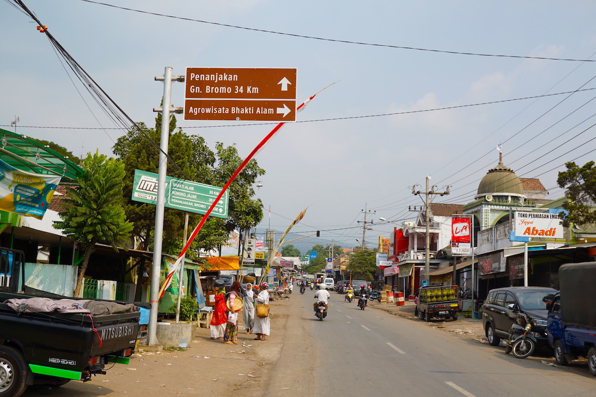
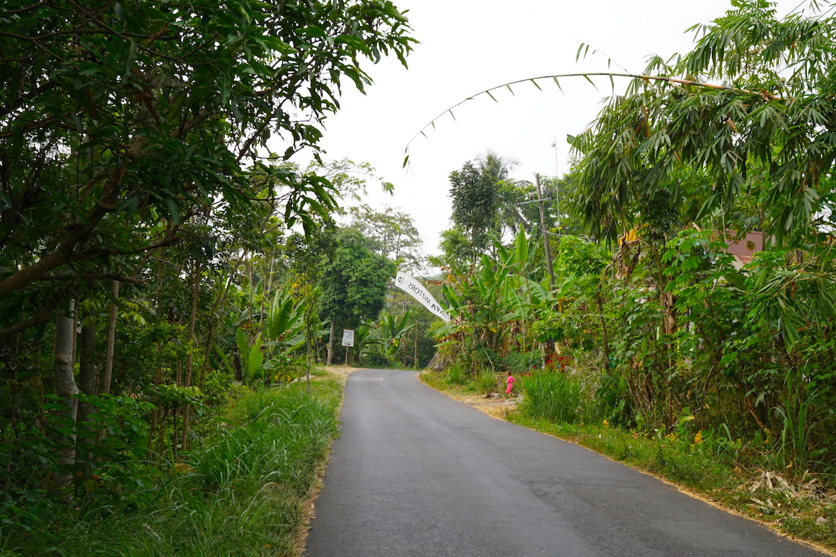
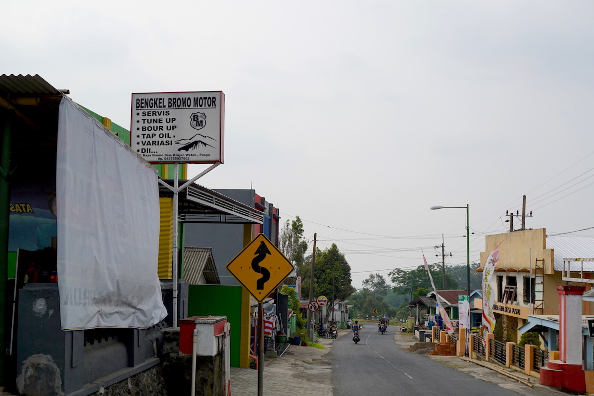
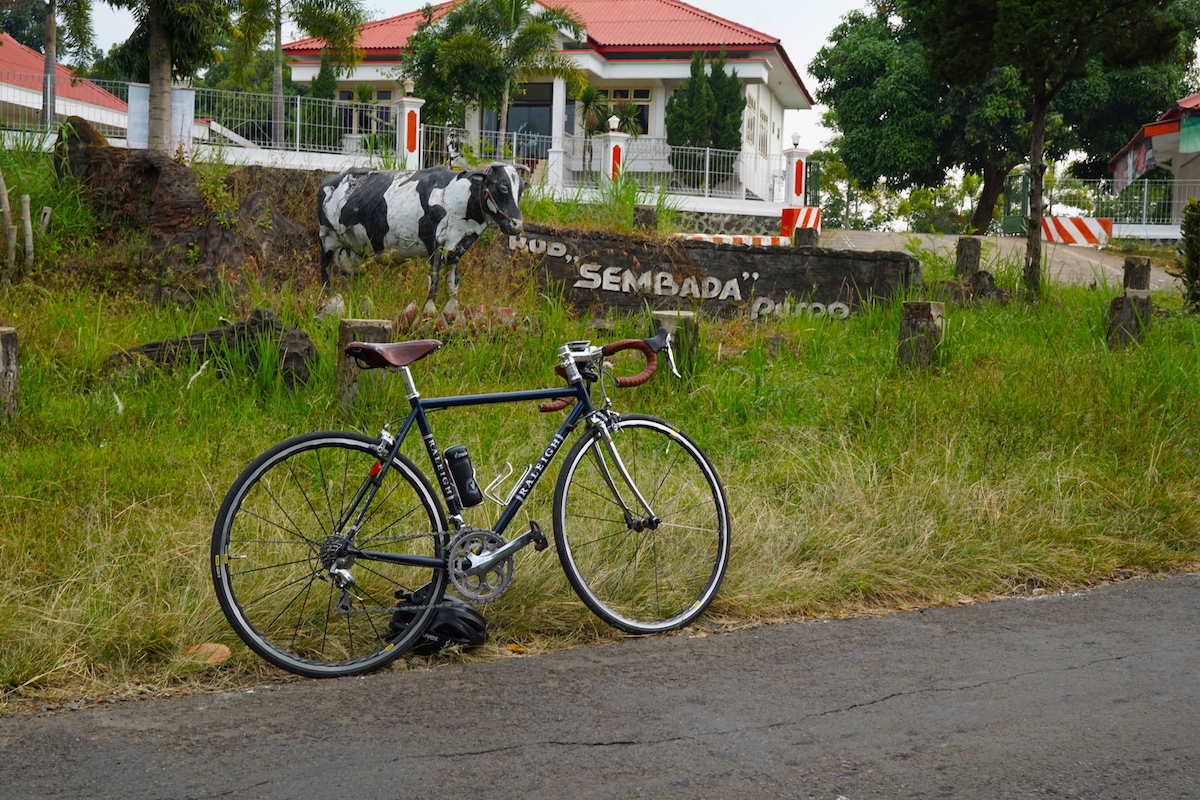
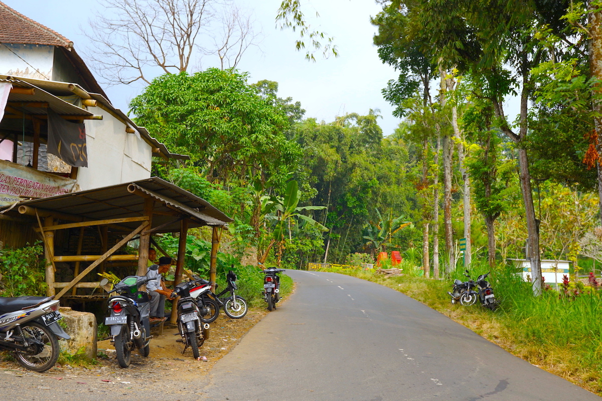
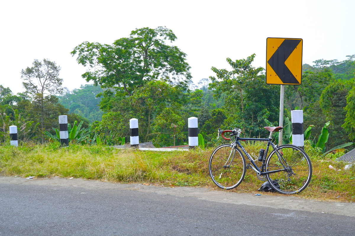
From Pasuruan, I traveled along Jl. Raya Pasrepan. The road runs between Pasuruan and Tengger caldera and eventually change its name to Jl. Bromo Tosari after Puspong. And to Jl. Bromo after Wonokitri. Its condition was very good. The road surface was smooth. There was no pothole on it. And it was not very steep either. I instantly liked this road.
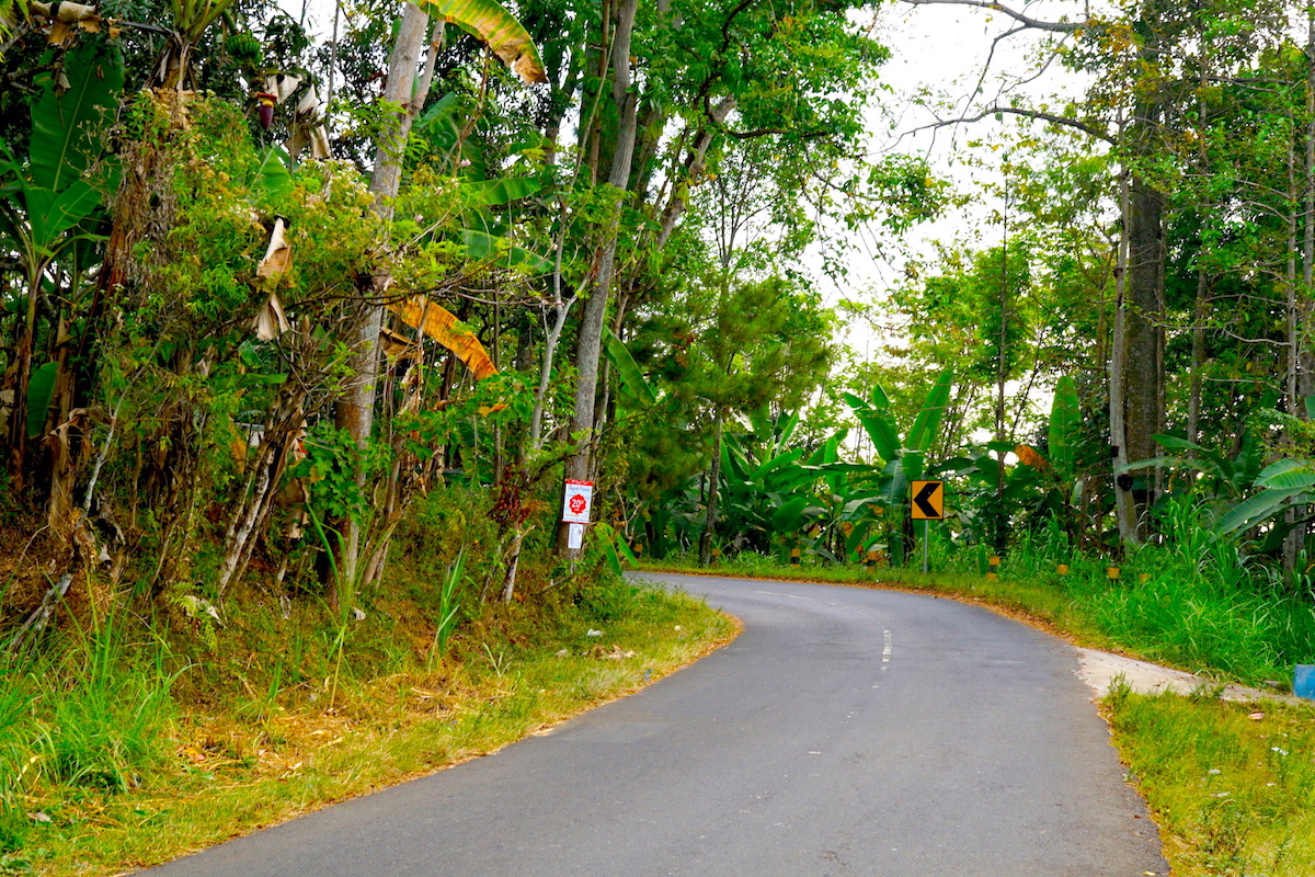
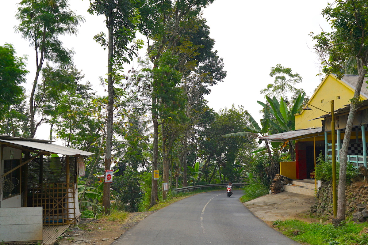
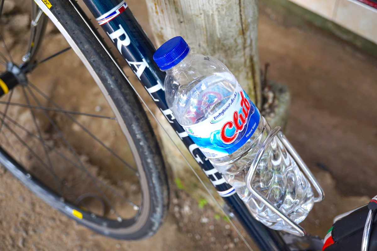
While I was climbing up, I felt really warm from deep inside and sweat too much. The temperature was around 90 ºF (32 ºC) but the humidity was high. I felt lightheaded because of the heat and dehydration and stopped for bottled water on a regular basis. Fortunately, it was very easy to find shops along the road. The road seemed to connect many small communities and settlements on Tengger caldera. When you get through a rain forest, you will find the entrance to another community. And you will gradually gain elevation through the communities and rain forests.
It was a very long and pleasant journey. I felt as if it would last all day long. As I came to Wonokitri, I smelled the rain coming. The highest viewpoint on Mount Penanjakan and other summits had been already covered in clouds. I thought it was time to go back. I’ve never visited Mount Bromo, walked across the sea of sand and seen the sun set there. But I’m really satisfied with the Bromo Tengger Semeru National Park. It was really a good time climbing there.